|
|
Cadastral Consulting, LLC
|
|
Home Contact us Who we are Classes we present Where we'll be Planning your meeting Hard to find publications Consulting Links, News, and Resources NFIP and Floodplain Management |
National Flood Insurance Program and Floodplain Management Resources
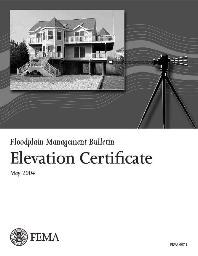
A new version of the Elevation Certificate is now available, expiring June 30, 2026. (Ignore the enormous "2022" on its cover - it wasn't available then.) Use only the form that is posted on FEMA's site here. FEMA has revamped the way it assesses flood insurance premiums through what it is calling Risk Rating 2.0. This approach is meant to provide a more fair and more site-specific approach to setting premiums, and changes some of the variables. While the Elevation Certificate may not be required for flood insurance rating under Risk Rating 2.0, the form still provides important information above and beyond the datasets in the new software utilized by insurance agents. Risk Rating 2.0 became effective for all NFIP flood insurance policies as of April 1, 2022. Of course, Elevation Certificates remain a vital part of local floodplain management as a tool for tracking lowest floor elevations and permit processes, as well as for submitting information when applying for Letters of Map Amendment and Letters of Map Revision Based on Fill.
FEMA has initiated a program called Building Resilient Infrastructure and COmmunities, shortened to BRIC, to help communities, states, tribes and territories undertake mitigation projects. Information on funding and technical assistance is available on the FEMA website here. Floodplain Management News and Links FEMA periodically revises forms for map change applications. Click below for links to the most current forms. Yes, some of the dates on the forms are old!
FEMA's contact center for the Map Service Center (MSC) has been consolidated with the FEMA Map Assistance Center (FMAC). The phone number for MSC is 1–877–FEMA MAP (1–877–336–2627). To reflect the consolidation of the contact centers the name of the expanded FEMA Map Assistance Center is now the FEMA Map Information eXchange, or FMIX. FEMA has not issued paper maps (effective October 1, 2009) beyond a single set to participating NFIP communities. All map users must be familiar with FEMA's on–line Map Service Center for viewing and downloading digital mapping data.
Return to top of pagePlease see our classes and training on use of the Elevation Certificate and other floodplain management topics.
Return to top of pageFEMA's Technical Bulletins
Over the years, FEMA has issued eleven Technical Bulletins to clarify various land development and construction aspects of the National Flood Insurance Program. Whether seeking acceptable floodplain development techniques or looking for guidance relating to completion of the Elevation Certificate, the Technical Bulletins address a number of questions. The Technical Bulletins listed below can all be downloaded as PDF files from FEMA's website, which can be accessed by clicking here. Note that these documents are periodically updated, so check if a copy you may already have is still the most recent version
Return to top of pageTraining and Seminars in Floodplain Management Cadastral Consulting offers seminars, in–house training, and consulting services in floodplain management. Please follow the links below for descriptions of present educational offerings. We are can also provide customized services in helping your staff or organization meet its needs.
Return to top of pageSome of the files on this page require a plug-in to view them. Links to the plug-ins are available below. 
|
page last updated September 23, 2023 |