Class Descriptions (live virtual instruction)
Case Law 101 (4 hours)
Appropriate for ALL experiential levels
This course briefly exposes the participants to the fundamental concepts of American Jurisprudence, and the functions and jurisdictions of Federal and State Courts. The seminar tracks case citation, the Court Reporters where they are initially published, and computer research resources. The course concludes with a detailed discussion and briefing of a case from the initial trial through the appellate process up to the State Supreme Court which reversed the Appellate Court and remanded the case for retrial which was also appealed. There are suggestions for improving an individual's understanding of case law pertaining to surveying.
Creating and Transferring Rights in Real Property (8 hours)
An Intermediate to Advanced level program
This seminar covers the concept and nature of real property titles and the various rights and interests therein. The course discusses deed forms used in conveyancing and the differences between them. It also discusses the requirements of a valid conveyance, and the priorities of title resulting from conveyance and recordation. The presentation includes numerous illustrations.
Evidence, Exhibits and Testimony – Boundaries and Beyond (8 hours)
An Intermediate to Advanced level program
This seminar explores the growing field of Forensic Surveying. It provides an overview of the law of evidence, civil lawsuits, trial processes, and professional practice. Frequently used legal terminology is defined in the context of the material as it is presented.
Land surveyors frequently provide opinions and render decisions in which their "standard practices" may be an essential issue. The seminar is intended to help sharpen a proper, knowledgeable approach to the exercise of professional judgement, the provision of effective testimony, and the creation of exhibits.
Measurements, Monuments, and Maps (8 hours)
An Intermediate to Advanced level program
No evidence is admissible in court unless it is reliable and pertinent. Before the surveyor's opinion and supporting conclusions can be accepted, there must be an examination of the process by which the evidence was derived and whether or not it tends to establish a fact or facts necessary to decide the issue(s) at trial.
These three fundamental aspects of surveying are integrated into a single topic. Mathematics and cartography are not the focus of the discussion but they are necessarily a part of it. The goal is to understand the nature, quality and use of proposed evidence relating to measurement, monuments and maps leading to a sustainable professional opinion regarding boundary and title issues.
Property ("Legal") Descriptions (8 hours)
An Intermediate to Advanced level program
This seminar covers describing and interpreting legal descriptions used in conveyances and other documents, their elements and parts. It discusses and illustrates the ten fundamental forms of describing real property parcels, and includes the requisite, desirable, and undesirable elements, as well as the relative superiority of calls. The class stresses the need for adequate research and discusses some of the more common sources of documentary evidence.
Public Land Survey System: Boundary Problems (8 hours)
An Intermediate to Advanced level program
This seminar covers the primary title of the US Government, Grants by prior sovereigns, and reservations and exceptions in original patents. It also covers future interests such as Homesteads and Mineral Claims, as well as Adverse Possession and claims adverse to the United States. These concepts are then related to boundary problems encountered by the practicing surveyor.
The course discusses various types of GLO/BLM surveys (original, retracement, dependent and independent resurveys, correction, and completion); existing, obliterated and lost monuments; criteria for accepting or rejecting found monuments; and proportionate reestablishment of lost monuments.
The course also looks at basic riparian rights, the term navigability as applied in the PLSS, the ownership of islands, and the public–private boundary when the meander line and the water itself are significantly different.
Public Land Survey System Descriptions – Theory and Reality (4 hours)
An Intermediate level program
This seminar covers sections, their subdivision (aliquot parts) and "government" lots. The course focuses on the distinctions between nominal sections (described in the Manual), original sections (created by the Township Plat), and resurveyed sections (resulting from subsequent BLM and private surveys). It also discusses the description and conveyance of aliquot and proportional parts as well as “private sections” (within prior sovereign’s grants).
Public Land Survey System – The Plan and Original Surveys (4 hours)
An Entry to Intermediate level program
This seminar provides an overview of the fundamentals of the Public Land Survey System (PLSS). It covers the order of survey beginning with Initial Points, Standard Lines, Quadrangles, and Townships, concluding with Sections and aliquot parts. The course discusses the Township Plats, Field Notes, the monumented and unmonumented corners produced during the original surveys. Also covered are Lots, Tracts, Parcels, Mineral and Land Claims that are shown on the Township Plat; the meandering of waterbodies and the acceptable tolerances applicable to original surveys.
Water Boundaries (8 hours)
An Intermediate to Advanced level program
This seminar covers the historic, scientific and legal relationships of tidal datums, navigability, public ownership of the bed, and private boundaries within and/or controlled by the water. Specific topics include the Ordinary High and Low Water Marks, the "thread of the stream", accretion and avulsion, floodplains, wetlands, Swamp and Overflowed lands, and grants from prior sovereigns.
This seminar is based on the common law of America as well as noting situations where federal and or state laws differ. It contains many illustrations.
When is a Fence a Fence and When is it a Boundary? (8 hours)
An Intermediate to Advanced level program
Boundary determination is a vital part of surveys whether intended to produce topographic mapping, construction layout, or property corners. Practical issues arise when the line of occupation (a “fence”) does not agree with the limits expressed in documents.
Very little of the law involving titles and boundaries has been statutorily created or adopted; most of it derives from case law. The course addresses basic concepts of land titles and boundaries, as well as a discrepancy between the Record Legal Title and the dominion-and-control of real property as evinced by "fences". State and federal courts are in general agreement regarding the fundamental law affecting land boundaries and titles. However there are variations between the jurisdictions regarding philosophic and application issues. Each presentation is tailored to local statutory and case law.
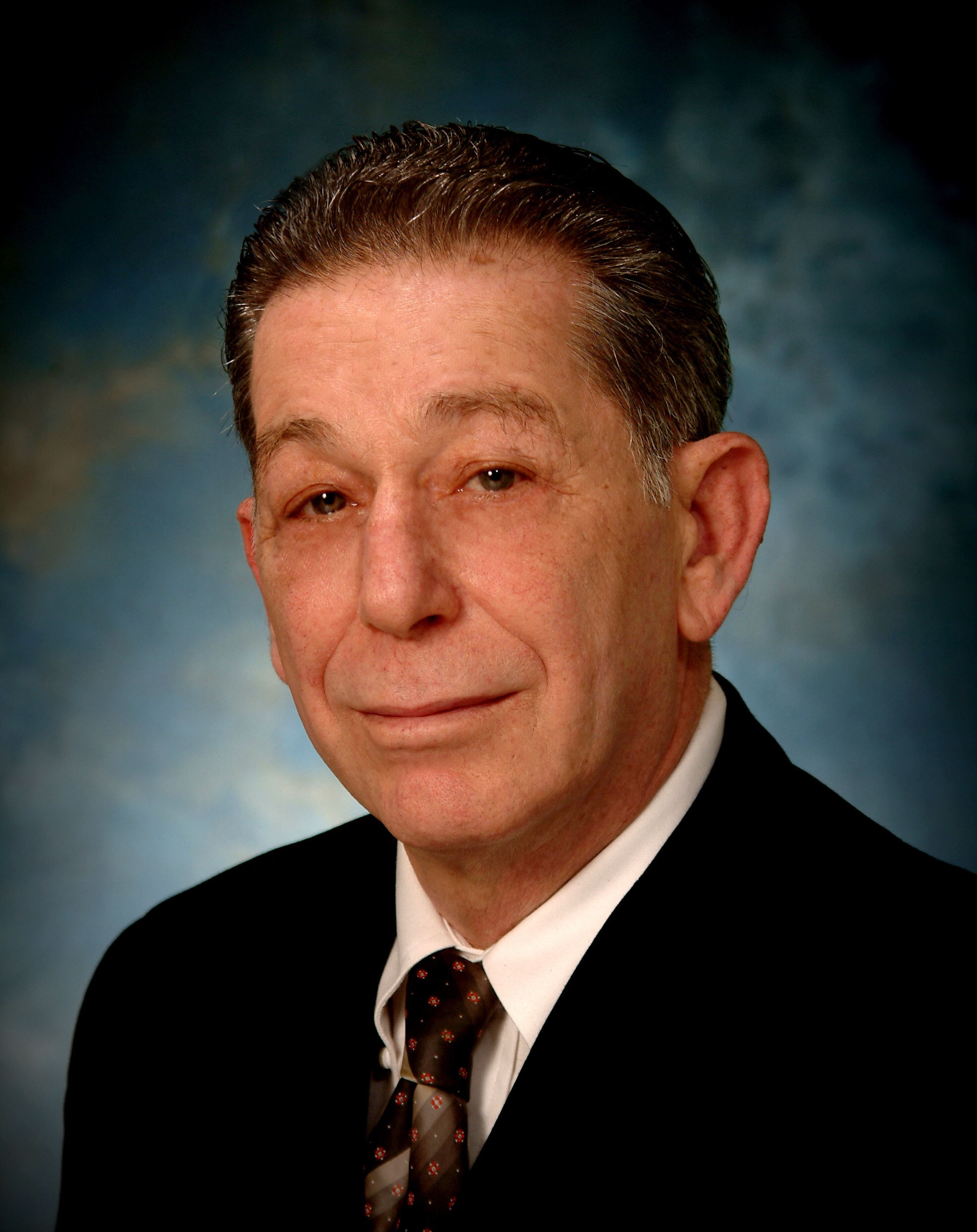 Chuck Karayan's surveying career began in 1962 as a Field Engineering Aide for the City of Tucson, Arizona. His original license (Oregon) was issued in 1978 (L1641), he is currently licensed in California (LS 6268). He retired in 2005 from the Headquarters Office of Land Surveys, California Department of Transportation as the Chief of Training. Previous engagements included serving as the Survey Operations Manager for a large private firm, as a City Surveyor, as a County Surveyor, and as the Regional Property Engineer for a railroad.
Academically trained as an Earth Scientist, Chuck attended the University of San Fernando Valley, College of law. His private practice was focused on forensic service to members of the bar primarily involving boundary and title litigation. During most of his career Mr. Karayan has also provided educational programs for attorneys, surveyors, engineers, and other professionals involved in land ownership and usage. From 2006-2019 he was a Senior Lecturer (Adjunct) at the University of Wyoming – Outreach School.
Chuck Karayan's surveying career began in 1962 as a Field Engineering Aide for the City of Tucson, Arizona. His original license (Oregon) was issued in 1978 (L1641), he is currently licensed in California (LS 6268). He retired in 2005 from the Headquarters Office of Land Surveys, California Department of Transportation as the Chief of Training. Previous engagements included serving as the Survey Operations Manager for a large private firm, as a City Surveyor, as a County Surveyor, and as the Regional Property Engineer for a railroad.
Academically trained as an Earth Scientist, Chuck attended the University of San Fernando Valley, College of law. His private practice was focused on forensic service to members of the bar primarily involving boundary and title litigation. During most of his career Mr. Karayan has also provided educational programs for attorneys, surveyors, engineers, and other professionals involved in land ownership and usage. From 2006-2019 he was a Senior Lecturer (Adjunct) at the University of Wyoming – Outreach School.